


Facilities
Geography, Meteorology & Environmental Science Department
Facilities
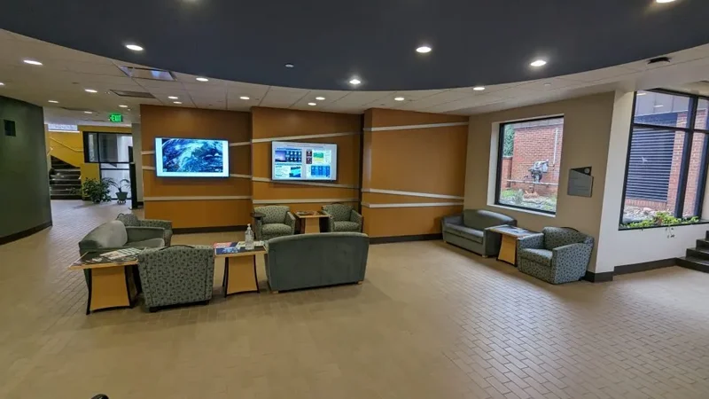
The lobby of Kallay-Christopher Hall serves as a study area and discussion space for students, faculty, and visitors
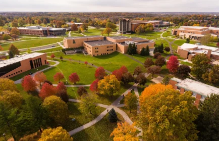
The department’s home is in Kallay-Christopher Hall, an award-winning facility that signals its connection to the weather and the world around it with its strikingly angled wall of windows. It is connected by a glass walkway to Schnabel Hall, which houses a geographic applications lab as well as television and digital media studios used by students exploring a career in broadcast meteorology.
Geography, Meteorology & Environmental Science Department
Meteorology Facilities
1 MW 5-cm (C-band) simultaneous dual-polarization Doppler radar, located on the west side of campus, is used for student research and coursework.
The weather observation deck, adjacent to the weather center and meteorology classrooms, offers an unobstructed view of the southern and western horizon. From the observation deck and the windows in the Weather Center, it is possible to observe all 360 degrees of the sky from the second floor of Kallay-Christopher Hall. The Radiosonde Launcher is also located on the weather observation deck.
Portable and fixed InterMet Radiosonde systems track weather balloon radiosondes and retrieve the atmospheric data in real time. Students launch weather balloons from the Radiosonde Launcher, from the weather observation deck, and in the field. Used for coursework and student research, the sounding data can be found on the Valpo Meteorology Online Weather Center.
An automated radiosonde launcher automatically inflates weather balloons and launches instrument packages from the weather observation deck.
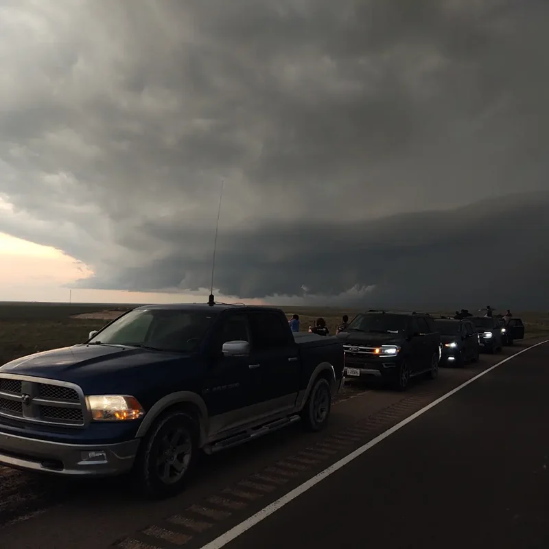
A Dodge Ram crew cab pickup, used during summer storm chases, is outfitted with a variety of instrumentation during field studies. iPads provided through a generous GoFundMe initiative also provide each vehicle in the convective summer field study with a mobile computer platform.
Located on the roof of Kallay-Christopher Hall, the Yankee Environmental Services Total Sky Imager takes pictures of the entire sky that can be used to measure cloud cover.
Located in nearby Schnabel Hall and connected to Kallay-Christopher Hall by a glass walkway, the Weather Studio outfitted with WSI TruVu software emulates the environment of many professional broadcast studios. The Weather Studio gives meteorology students the opportunity to learn the technical aspects as well as the art of TV weather broadcasting.
Geography, Meteorology & Environmental Science Department
Geography and GIS Facilities
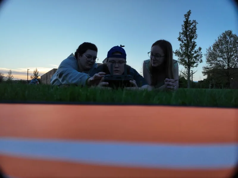
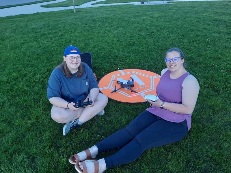
This drone allows us not only to engage in high-resolution aerial mapping, but the imagery extending into the near infrared allows us to easily determine vegetation health as well as other remote sensing spectral-based analyses. Students who obtain a remote pilot certificate from the FAA can fly the drone during various courses and field projects.
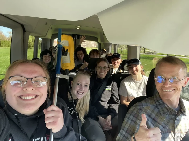
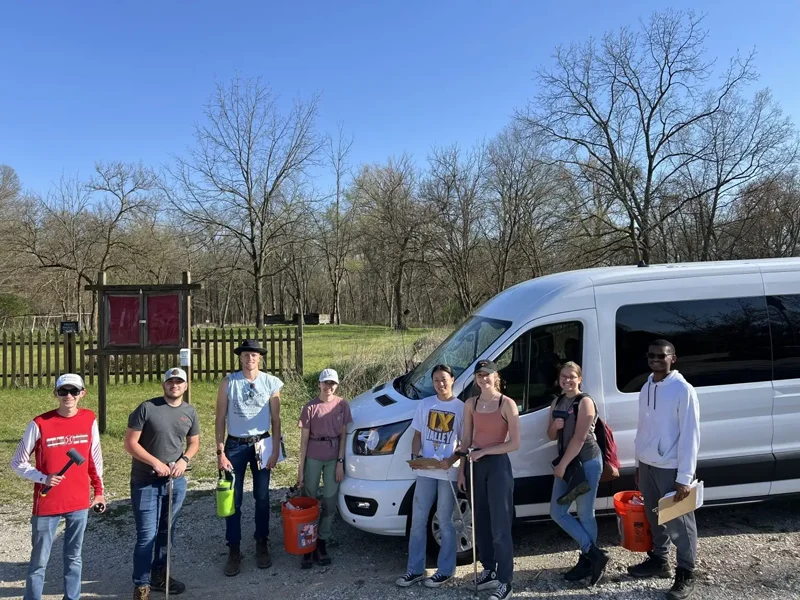
Our department van enables us free regional travel for fieldwork and courses like the 5-day Process Geomorphology Trip, where students explore caves and other geographical features during Fall Break. The van also allows for easy travel to conferences and events for student engagement in the profession.
The map collection located on the first floor of the Christopher Center includes maps from the U.S. Geological Survey, National Geospatial-Intelligence Agency, CIA, and Departments of Agriculture and Interior. The collection also contains National Geographic maps and maps of cities in Indiana, the United States, and the world.
Located in the map cabinets in the downstairs lab, the departmental map collection includes selected USGS topographic maps for all 50 states.
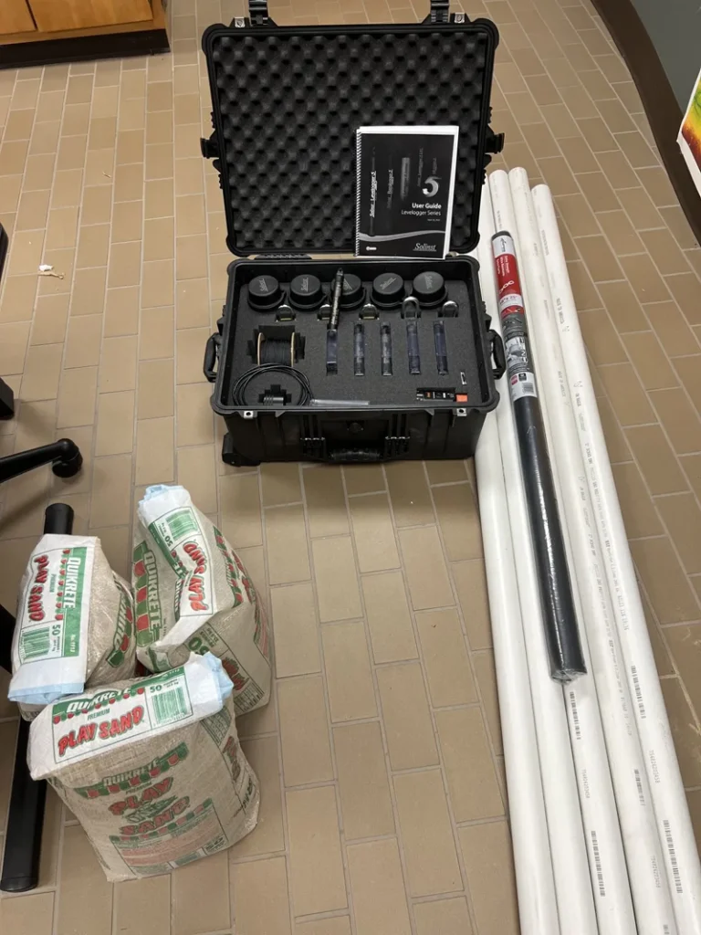
Tools of the trade for geography field work, students benefit from a variety of instrumentation, including:
- Horiba Particle Analyzer
- Fluxgate Gradiometers
- Trimble GeoXM GPS portable unit and field antenna
- Trimble Juno GPS handheld units
- Garmin GPSMAP 62st handheld units
- DeLorme Earthmate PN-60 handheld units
- GarminMap 76S handheld units
Geography, Meteorology & Environmental Science department
Learn More!
Geography, Meteorology & Environmental Science Department
Classrooms and Community Spaces
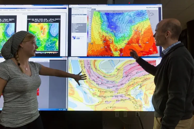
An area adjacent to the Weather Center on the second floor of Kallay-Christopher Hall provides a welcoming environment for students, featuring a wall-sized map of the world, a white board for study review and a mobile VisBox wall-sized monitor for dynamic display of weather maps.
The first floor lobby of Kallay-Christopher Hall provides a pleasant meeting and study space for students and visitors, with café tables for a quick lunch or study space, comfortable chairs and couch for a group discussion area, and real-time weather and model data updated on wall-mounted monitors. Around the corner at the northeast entrance, a GeoChron tracks the global daylight coverage through the year.
Located on the first floor of Kallay-Christopher Hall, the conference room is perfect for small class discussions, department meetings, student executive board sessions, and quiet study.